Most businesses do not think of space as part of their operations. Yet every time a delivery is routed, a weather window is assessed, or a transaction clears across borders, satellites are doing quiet, essential work in the background.
The question is no longer whether satellites matter to business. It is whether a company is using them well enough to stay ahead of those that aren’t.
A Fishing Fleet That Never Gets Lost Anymore
A few years ago, an industrial fishing company operating in the North Atlantic kept running into a problem. Vessels may go for days without any communications. Weather forecasts came too late to reroute. Efforts to chase after fish that had already left simply wasted fuel. Now, the same fleet operates with real-time weather data, constant GPS tracking, and satellite internet that keeps every vessel connected even if it is hundreds of miles offshore. Fuel costs dropped. Catch rates improved. Due to change in the risk profile, insurance premiums reduced.
Nothing about the ocean changed. What changed was access to space.
Why Satellites Matter More Than Most Businesses Realize
Most companies interact with satellite technology every single day without thinking about it. The GPS navigation used by delivery drivers. The weather forecast that informs logistics routing. The financial transaction that clears in milliseconds across continents.
Satellites orbiting Earth have become invisible infrastructure — so embedded in daily operations that their absence would be catastrophic, yet rarely acknowledged as a strategic asset. That is beginning to change as more industries recognize what direct satellite access can actually offer.
We are moving from a world where satellites were tools for governments and telecoms into one where they underpin competitive advantage for businesses of every size.
Communication Satellites: Staying Connected When the Grid Ends
A copper mine in northern Chile, located four hours from the nearest town by road. For years, the operation continued to run on stale data — reports aggregated by hand and filed in packets, actions taken based on intelligence that was a full day-old by the time it reached anyone capable of acting upon it.
Communication satellites changed that. Today, the site runs continuous telemetry. Equipment faults are flagged before they become failures. Shift supervisors communicate with engineers in Santiago in real time. The operational improvements paid back the connectivity investment within the first year.
For any business working beyond the reach of reliable ground infrastructure, this is not a luxury. It is the difference between running an operation and merely surviving one.
GPS Satellites: The Precision Behind Everyday Decisions
A logistics company managing four hundred vehicles across three countries is not just watching dots move on a map. Every position update feeds into routing algorithms that adjust for traffic, fuel efficiency, and delivery windows simultaneously.
GPS satellites make that possible. But the applications go well beyond transport. In precision agriculture, the same positioning technology guides automated machinery to within centimeters — reducing seed waste, optimizing fertilizer application, and increasing yields in ways that compound across thousands of hectares.
The financial returns from GPS-driven precision are not theoretical. They show up in fuel invoices, crop yields, and delivery performance metrics every single quarter.
Remote Sensing Satellites: Seeing What No Ground Team Can
Here is something most people outside the commodity trading world do not know. Before official harvest reports are published, some traders already have a reliable estimate of global crop yields. They get it from remote sensing satellites analyzing vegetation density across agricultural regions worldwide.
That is not a niche application. Insurance companies use the same satellite imagery to assess disaster damage within hours of an event. Construction firms monitor project sites and neighboring land conditions without deploying a single person. Energy companies detect pipeline anomalies across thousands of kilometers of infrastructure.
Remote sensing turns geography from a constraint into a data source. For businesses that depend on physical assets spread across large areas, that shift is worth considerably more than most realize.
Weather Satellites: The Forecast Beneath the Forecast
Public weather forecasts are good enough for deciding whether to carry an umbrella. They are not good enough for routing a fleet of tankers around a developing storm system or timing a controlled burn on agricultural land.
Weather satellites feed the high-resolution models that make the difference between those two levels of precision. Companies with direct access to detailed meteorological data — rather than the smoothed public version — make better logistics decisions, manage energy demand more accurately, and avoid operational disruptions that their competitors absorb without warning.
The gap between a public forecast and a satellite-fed proprietary model is not dramatic in most conditions. In the conditions that matter most, it is significant.
Why Do Companies Need Satellites? Because the Alternative Is Falling Behind
The question used to be whether satellite technology was worth the investment. That conversation has largely ended.
GPS satellites, communication satellites, and remote sensing satellites are now embedded in the supply chains, risk models, and operational systems of every serious industry. The companies still treating them as optional extras are competing against companies that do not.
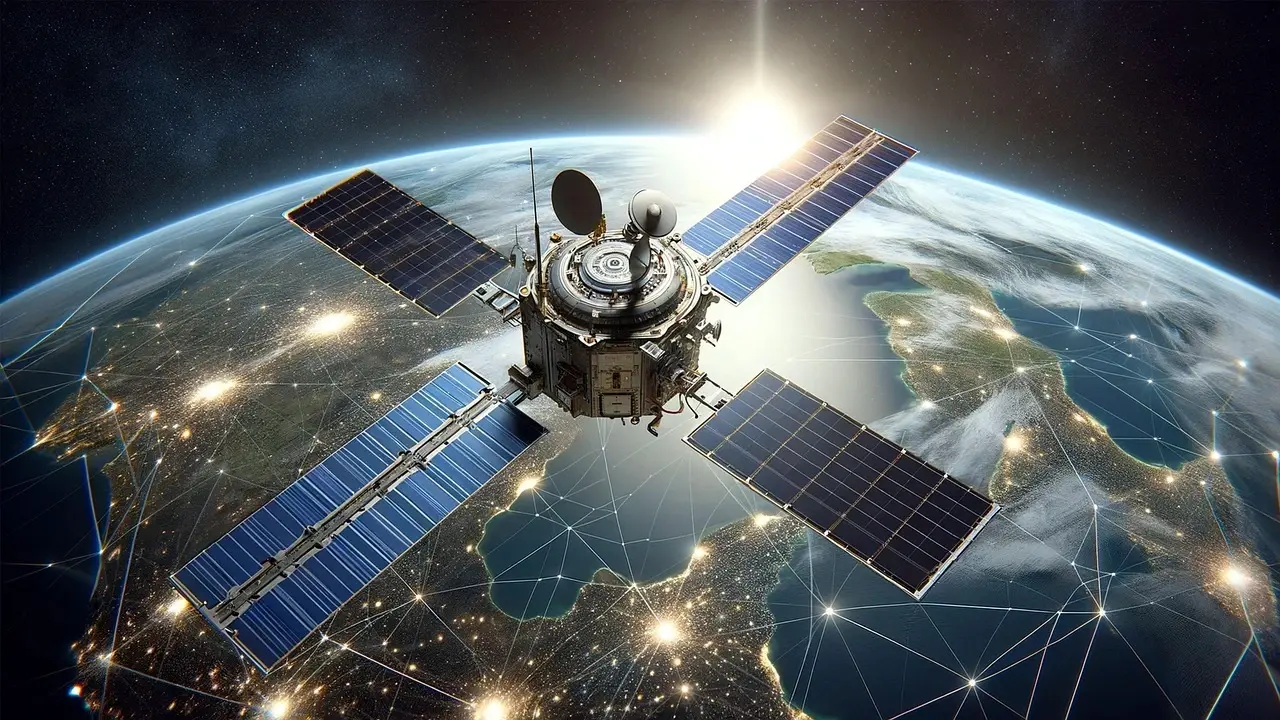
Images of satellites in orbit have become a useful shorthand for something more abstract: the infrastructure layer that modern business increasingly depends on, most of which is invisible until it stops working.
Space Is Already Part of Your Business
The fishing fleet, the copper mine, the commodity trader reading crop yields from orbit — none of them set out to become satellite users. They set out to solve specific operational problems and found that the most effective solutions happened to involve hardware circling the Earth at 28,000 kilometers per hour.
That is how most satellite adoption actually happens. Not through grand strategic vision, but through practical problem-solving that keeps arriving at the same answer.
Also Read-
- How Direct Debit Supports Scalable Business Growth
- How First-Time Business Owners Can Get a Loan
- 4 Practical Ways To Stretch Any Tech Budget